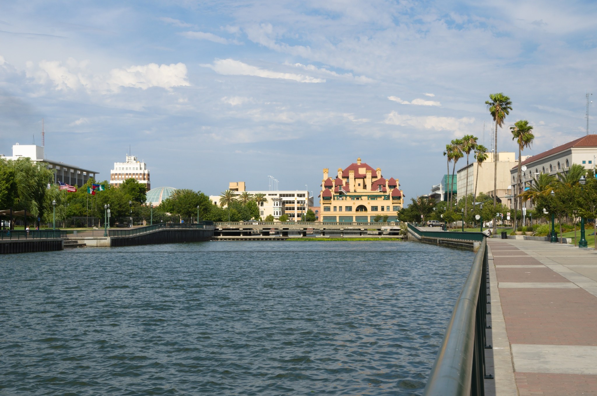
Outdoors
Lakes near Stockton
22 named lakes within 30 miles, nearest first, with a map and directions.
Lakes within 30 mi
22
Closest
0.5 mi
McLeod Lake
Within 10 miles
3
Reservoirs
8
Worth the drive


Map
Map of 22 places loads as you scroll.
All lakes, nearest first
- 0.5miMcLeod Lake
- 3.4miQuail Lake
- 4.9miLake Lincoln
- 10.5miLowry Lake
- 12.5miOakwood Lakereservoir
- 13.2miLodi Lake
- 17.1miWillow Lake
- 18.7miSummer Lake
- 20.5miMiller Lake
- 21.3miBethany Reservoirreservoir
- 24.2miCamanche Reservoirreservoir
- 25.2miWoodward Reservoirreservoir
- 26miLos Vaqueros Reservoirreservoir
- 27.5miLake Alhambrareservoir
- 28.2miAntioch Municipal Reservoirreservoir
- 28.3miRancho Seco Lake
- 28.3miSherman Lake
- 28.4miRancho Seco Recreational Park
- 28.9miSouth Stone Lake
- 29.2miNew Hogan Lake
- 29.2miContra Loma Reservoirreservoir
- 29.9miSalt Spring Valley Reservoir
Straight-line distance from the center of Stockton; driving and trail distances are longer.
Before you go
Many reservoirs are drinking-water supplies with no swimming or body contact. Look for a designated swim beach.
Green, scummy or paint-like water can be a toxic blue-green algae bloom. Keep kids and dogs out and check the county advisory.
Boat launches often need a day pass or inspection for invasive mussels, and anglers 16 and older usually need a state fishing license.
HikingFishingBoatingWeather by monthDay tripsBeaches near StocktonScenic viewpoints near StocktonCaves near StocktonHot springs near Stockton
Questions
What is the closest lake to Stockton?
McLeod Lake, about 0.5 miles from the center of Stockton.
How many lakes are near Stockton?
22 named lakes are within 30 miles, 3 of them within 10 miles.
Are the lakes near Stockton natural?
8 of the 22 are reservoirs made by dams; the rest are mapped as natural lakes. Swimming rules differ, so check each one.
Sources: Wikidata and OpenStreetMap contributors (ODbL), checked 2026-11-08; photos from Wikimedia Commons under the licenses shown. Access, fees and conditions change; check before visiting.